Search Results
81 results found for:
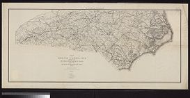
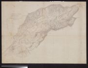
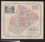
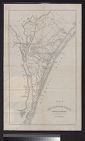
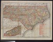
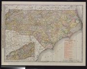
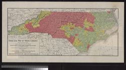
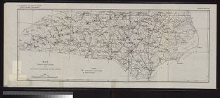
Craven County (N.C.)
View all North Carolina Maps material.
Currently viewing items 1 - 40
| Next |


Currently viewing items 1 - 40
| Next |